British Columbia & Western Canada

Remote Sensing Services

Forest analysis and GIS mapping, LiDAR and photo mapping, and asset inspections — captured, processed, and delivered by a local team.

Forestry GIS for Wildfire Resiliency

We measure. Your forester decides.

Capture provides

  • Route, corridor, and stand geometry
  • LiDAR stand measurements and screening indicators
  • A field priority layer
  • Maps and the spatial data package

Our deliverables feed into your

  • Wildfire threat assessments, plots, and photos
  • Threat class and fuel type calls
  • Treatment units and prescriptions
  • Community Wildfire Plans
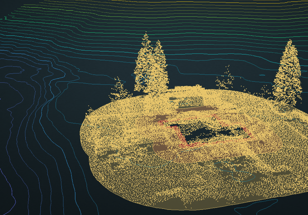
Live 3D sample from LiDAR: a home, its zone rings, and the trees a spacing plan selects. Drag to orbit, scroll to zoom. Open full screen →

Other Services

LiDAR, Photo Mapping, and Inspections

In addition to forestry planning, we serve multiple industries across three core capture types.
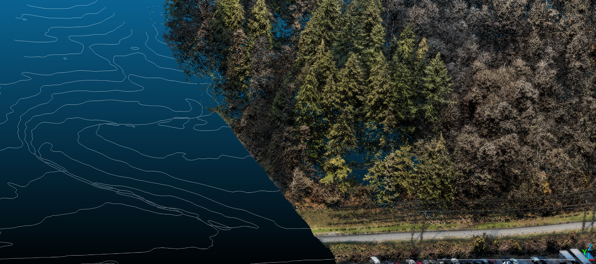
LiDAR point cloud terrain mapping

LiDAR Mapping

Dense point clouds, gathered to spec, classified exactly as the use case requires.

  • Bare-earth models and contours for resorts, developments, pipelines, and mines
  • Stream course and erosion mapping
  • Vegetation encroachment on power line corridors
  • Stockpile volumes
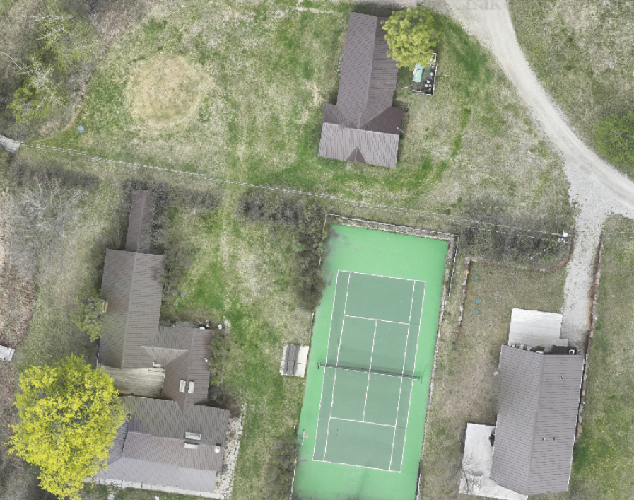
Drone ortho photo map mosaic

Photo Mapping

Seamless ortho mosaics at sub-centimetre resolution — see what no satellite or aerial platform can.

  • General site plan maps
  • Progress capture for construction, demolition, and clean-up
  • 3D modelling of building envelopes, ships, rock faces, bridges, and dams
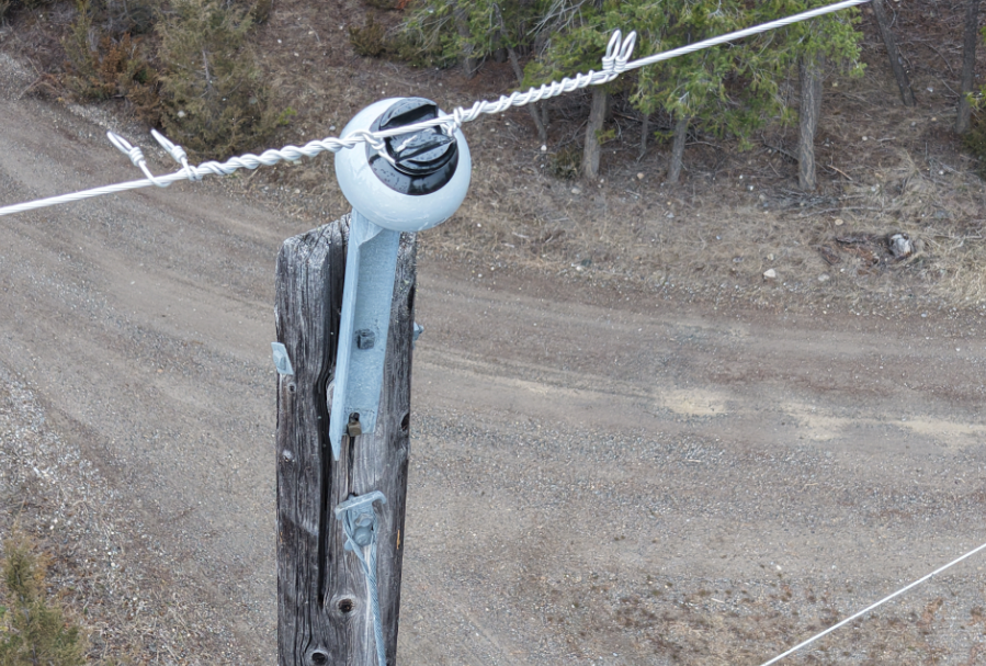
Drone asset inspection imagery

Inspections

High-resolution image capture at any asset.

  • Wind and solar sites
  • Telecommunications
  • Power utilities
LiDAR point cloud and aerial imagery — Capture

How We Work

Start from the deliverable

Every project is scoped against what it has to show, and who has to accept it.

1 — Scope

We start with the map, report, or dataset you need and who will review it. The data source and timing follow from that. Sometimes the right answer is existing provincial LiDAR, not a new flight.

2 — Measure

We classify and analyse point clouds and imagery into measurements you can check: heights, cover, spacing, distances, and areas. Every figure carries its source data, date, and method.

3 — Deliver

Maps, reports, and GIS-ready data in the format your reviewer expects, from a single-site survey to a corridor monitored year over year.

Sample Data

Enter your email to request a sample dataset.

7+

Years of commercial LiDAR
& other drone mapping experience

Reported Results

Real insights on every project.

BC · AB · SK

Engagements

Your terms.

We work on a project or retainer basis, from single-site surveys to multi-phase programs with repeat campaigns and ongoing analysis.

All projects include a scoping call at no charge to confirm deliverable requirements before any commitment.

Opportunities

Join Us!

We're a small, field-driven team turning remote sensing data into defensible regulatory deliverables. If you're rigorous about accuracy and like seeing your work fly, we'd like to hear from you.

If you're interested for a career opportunity, please forward a resume. We're always looking for suitable candidates.

Prefer to talk first? Reach out through the form below.

Get in Touch

Describe your project and the Capture team will respond within one business day.
No commitment needed until deliverables are agreed upon.