British Columbia & Western Canada

Remote Sensing Services

LiDAR mapping, photo mapping, and asset inspections — captured, processed, and delivered by a local team.

What We Do

Collection, Analysis, Hosting, and Reporting

Capture focuses data gathering and processing in three key areas.
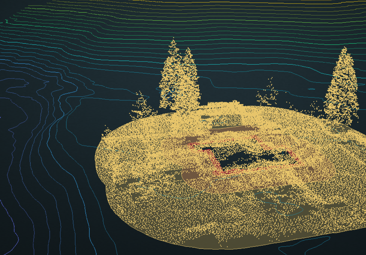
LiDAR point cloud terrain mapping

LiDAR Mapping

Dense point clouds, gathered to spec, classified exactly as the use case requires.

  • Bare-earth models and contours for landscape planning — golf courses, ski resorts, housing developments, pipelines, and mines
  • Stream course and erosion mapping
  • Forestry site planning and forest inventory
  • Vegetation encroachment analysis
  • Stockpile assessments
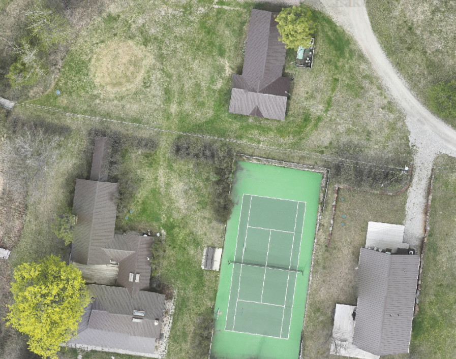
Drone ortho photo map mosaic

Photo Mapping

Seamless ortho mosaics at sub-centimetre resolution — see what no satellite or aerial platform can.

  • General site plan maps
  • Progress capture for construction, demolition, and clean-up
  • 3D modelling of building envelopes, ships, rock faces, bridges, and dams
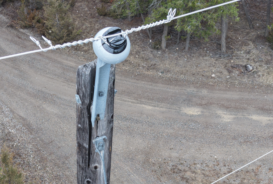
Drone asset inspection imagery

Inspections

High-resolution image capture at any asset.

  • Wind and solar sites
  • Telecommunications
  • Power utilities
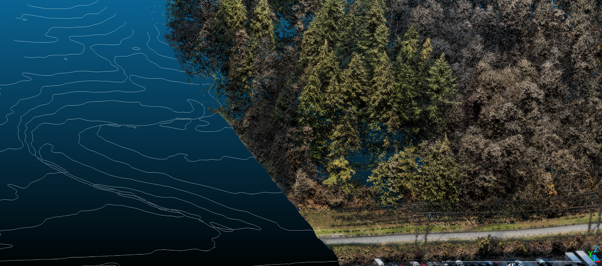
LiDAR point cloud and aerial imagery — Capture

Intelligence

Comply faster with Spatial Data.

STEP 1 — DATA ACQUISITION

The right people and equipment, in the right place, before the campaign begins. Compliance work leaves no time for re-dos. We scope every project against its end goal, be it regulatory requirement or simple reference. Sensor selection, crew placement, and ground control strategy are settled before we arrive on site. Every flight hour is working toward a defensible result.

STEP 2 — PROCESSING & ANALYSIS

Raw data becomes answers you can act on. We classify and analyse every point cloud against the specific standard your project is subject to — whether that's reclamation stocking under the BC Mines Act, or fuel load mapping for a FireSmart assessment. You get structured, validated spatial data formatted for direct use in GIS, engineering, and asset management workflows.

STEP 3 — ROBUST DELIVERABLES

Report-ready outputs your clients, auditors, investors, and stakeholders will accept. Every engagement closes with a documented deliverable built to satisfy your regulator, not just your inbox. Spatial reports, change detection summaries, annotated maps, and compliance declarations — formatted to the submission standards of the applicable regulatory body. Scalable from a single site inspection to a multi-year corridor monitoring program.

AltaLens

No Software? We'll host the deliverables for you

Tell the Story of Progress

Map, annotate, and track aerial imagery across time.

Try for Free

7+

Years of commercial LiDAR
& other drone mapping experience

Reported Results

Real insights on every project.

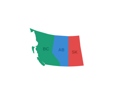
BC · AB · SK

Engagements

Your terms.

We work on both project and retainer basis. Typical engagements range from single-site surveys to multi-phase programs requiring repeat campaigns and ongoing analysis.

All projects include a scoping call at no charge to confirm deliverable requirements before any commitment.

Opportunities

Join Us!

We're a small, field-driven team turning remote sensing data into defensible regulatory deliverables. If you're rigorous about accuracy and like seeing your work fly, we'd like to hear from you. See our current openings below.

Visual Observer

Dawson Creek & Chetwynd, BC  |  Temporary Project  |  Starting ~Third Week of July

Capture is looking for a Visual Observer to support our RPAS (drone) pilot on an upcoming advanced operations project near Dawson Creek and Chetwynd. If you love being outdoors, don't mind unpredictable weather, and want a front-row seat to drone operations in action, this could be a great fit.

No drone experience necessary — we'll show you the ropes. What matters more is reliability, a sharp eye, and a good attitude in the field.

What you'll be doing

Working alongside our RPAS pilot-in-command, you'll help maintain visual line of sight on the aircraft, watch for hazards (airspace, terrain, wildlife, other aircraft), and communicate clearly to keep the operation safe and on schedule.

The details

What you'll need

Nice-to-haves

Apply for this role

Prefer to talk first? Reach out through the form below.

Get in Touch

Describe your project and the Capture team will respond within one business day.
No commitment needed until deliverables are agreed upon.